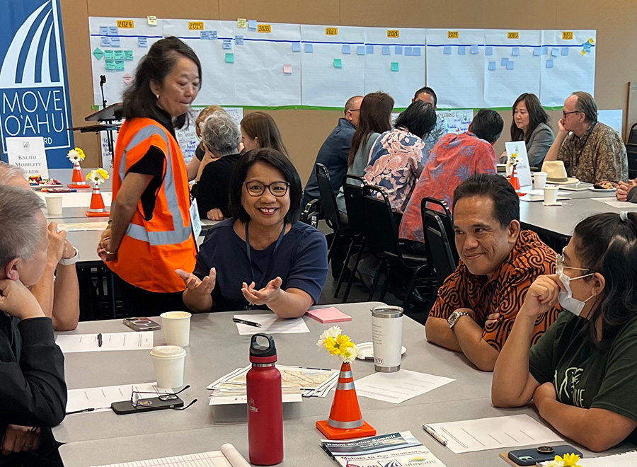
Topic Archive

"Corridor Planning"

Street in Philadelphia with two way cycle track and concrete bus boarding area. Credit City of Philadelphia

MW05-Complete Streets for Bike and Bus

View
Top: traffic on Roosevelt Boulevard in Philadelphia; bottom: rendering of a subway station entrance. Credit Thom Carroll (top) and Jay Arzu (bottom)

MW08-100 Years in the Making: The Vision for Roosevelt Boulevard

View
A person boarding a trolley in the Kingsessing neighborhood of Southwest Philadelphia. Credit: Cristina Arlt

MW12-Blossom at Bartram: Growing the Future in Southwest Philadelphia

View
View of street beneath elevated transit line in Kensington neighborhood of Philadelphia

MW16-Kensington: A Misunderstood Neighborhood

View
View of American Street in Philadelphia prior to redesign. City of Philadelphia Water Department

MW17-American Street: The Road to Green and Complete Streets

View
Kalihi Summit. People talking in room. Credit Hitachi Rail Honolulu

Mpact LAB: Keeping Kalihi Kalihi

View
Two people talking in a room overlooking downtown and a big sign Ohio One

Mpact LAB, the Lincoln Institute and Legacy Cities

View
Group of people in front of Brightline background. The Mpact:LAB MOVE Roundtable in Orlando, Florida

Strategic, collective problem solving with Mpact:LAB

View
Mural in Long Branch along Purple Line Corridor in Maryland. Photo credit Montgomery Housing Partnership

Episode 76: Displacement is More than Housing

View

Driven by Data: Unleashing the Potential of Rail Corridors

View
Scroll to Top
Skip to content